Rendered at 04:42:44 12/04/25


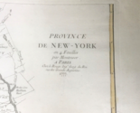
1777 John Montresor Map Province de New-York 4 Feuilles George Louis le Rouge
$4,531.83 CAD
(Buy a Up to 30% discount card for $30.00 first, and you will save $60.00 on this item and get up to 30% off future purchases for the next 3 months.
Unlock the discount with just a few clicks - start here)
Ships from
United States

Share & earn! Sign in, share this or any listing, and you’ll get commission when it sells.
Learn more

Shipping options
Seller handling time is 3 business days Details
No shipping price specified to CA
Ships from
United States
Offer policy
OBO - Seller accepts offers on this item.
Details
Return policy
None: All purchases final
Details
Purchase protection
Payment options
PayPal accepted
PayPal Credit accepted
Venmo accepted
PayPal, MasterCard, Visa, Discover, and American Express accepted
Maestro accepted
Amazon Pay accepted
Nuvei accepted
Item traits
| Category: | |
|---|---|
| Quantity Available: |
Only one in stock, order soon |
| Condition: |
Unspecified by seller, may be new. |
| Date Range: |
1700-1799 |
| Year: |
1777 |
| Country/Region: |
United States of America |
| US State: |
CT, MA, ME, NH, RI, VT |
| City: |
New York |
| Cartographer/Publisher: |
George Louis Le Rouge |
| Format: |
Sheet Map |
| Printing Technique: |
Engraving |
| Type: |
Topographical Map |
| Original/Reproduction: |
Antique Original |
Listing details
| Seller policies: | |
|---|---|
| Shipping discount: |
No combined shipping offered |
| Posted for sale: |
More than a week ago |
| Item number: |
1686803860 |
Item description
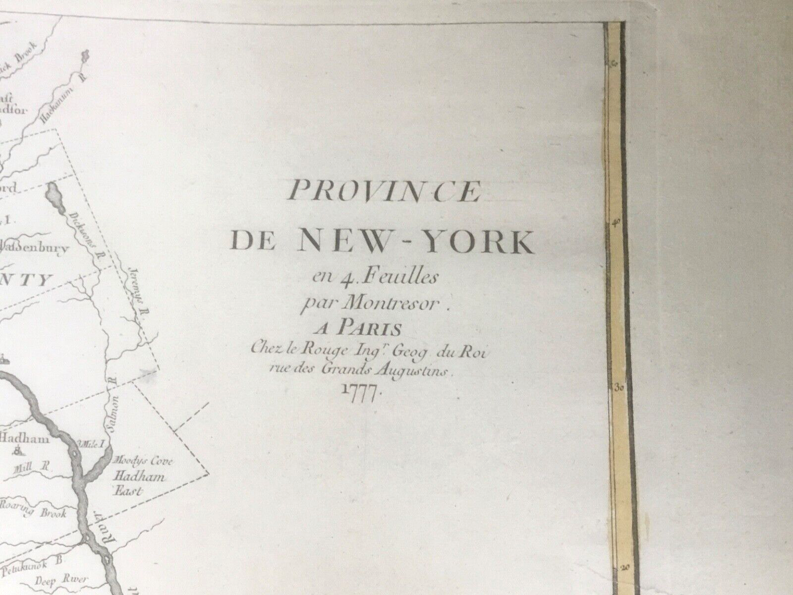
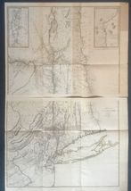
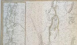
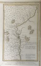
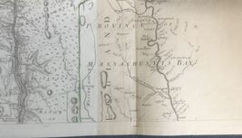
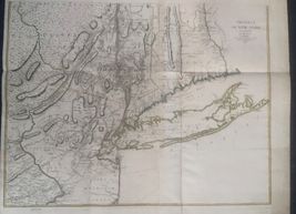
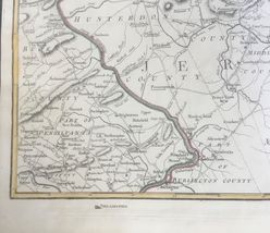
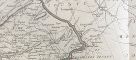
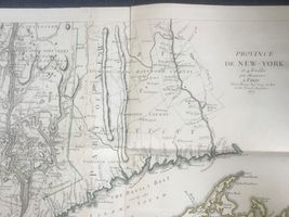
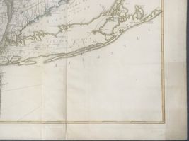
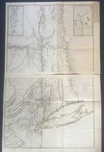
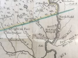
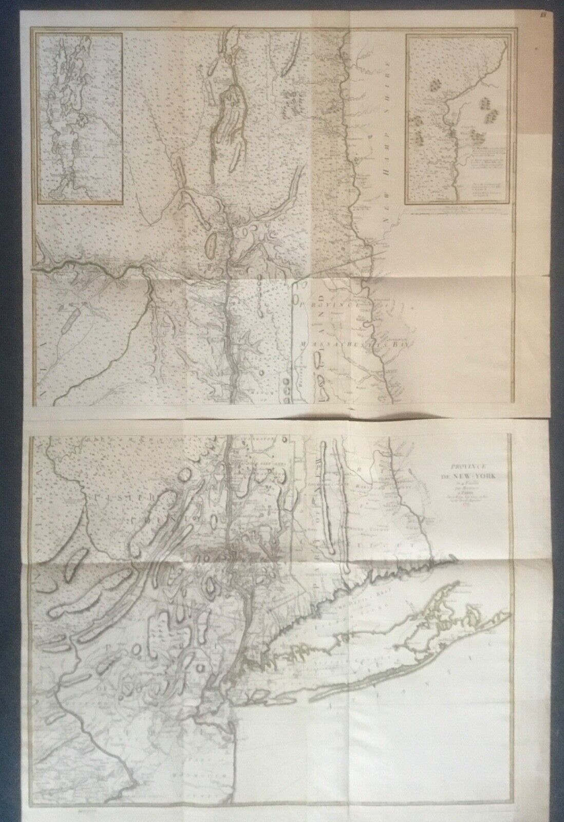
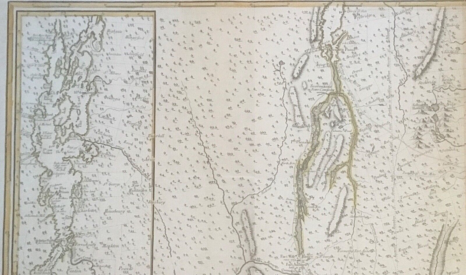
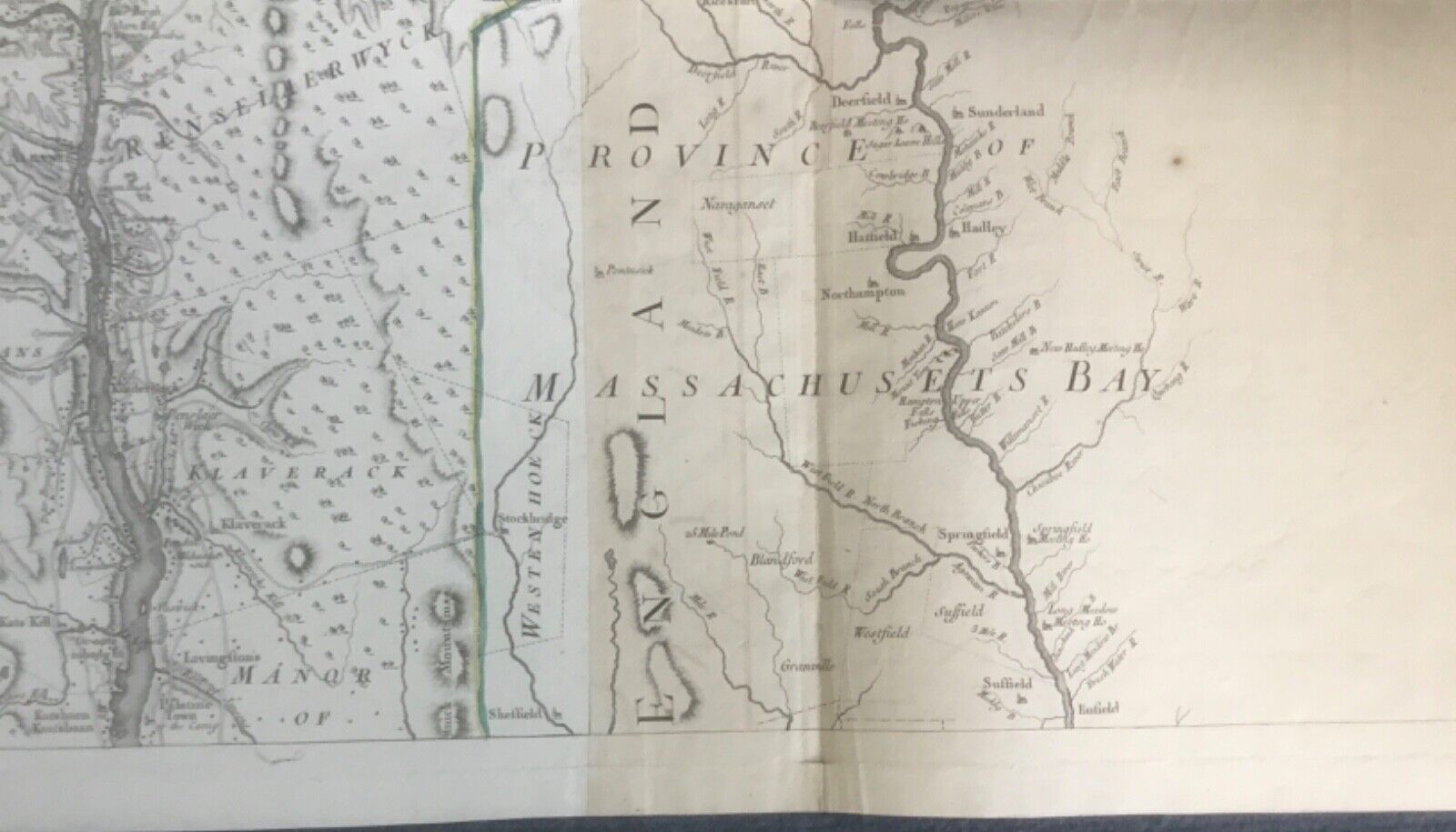
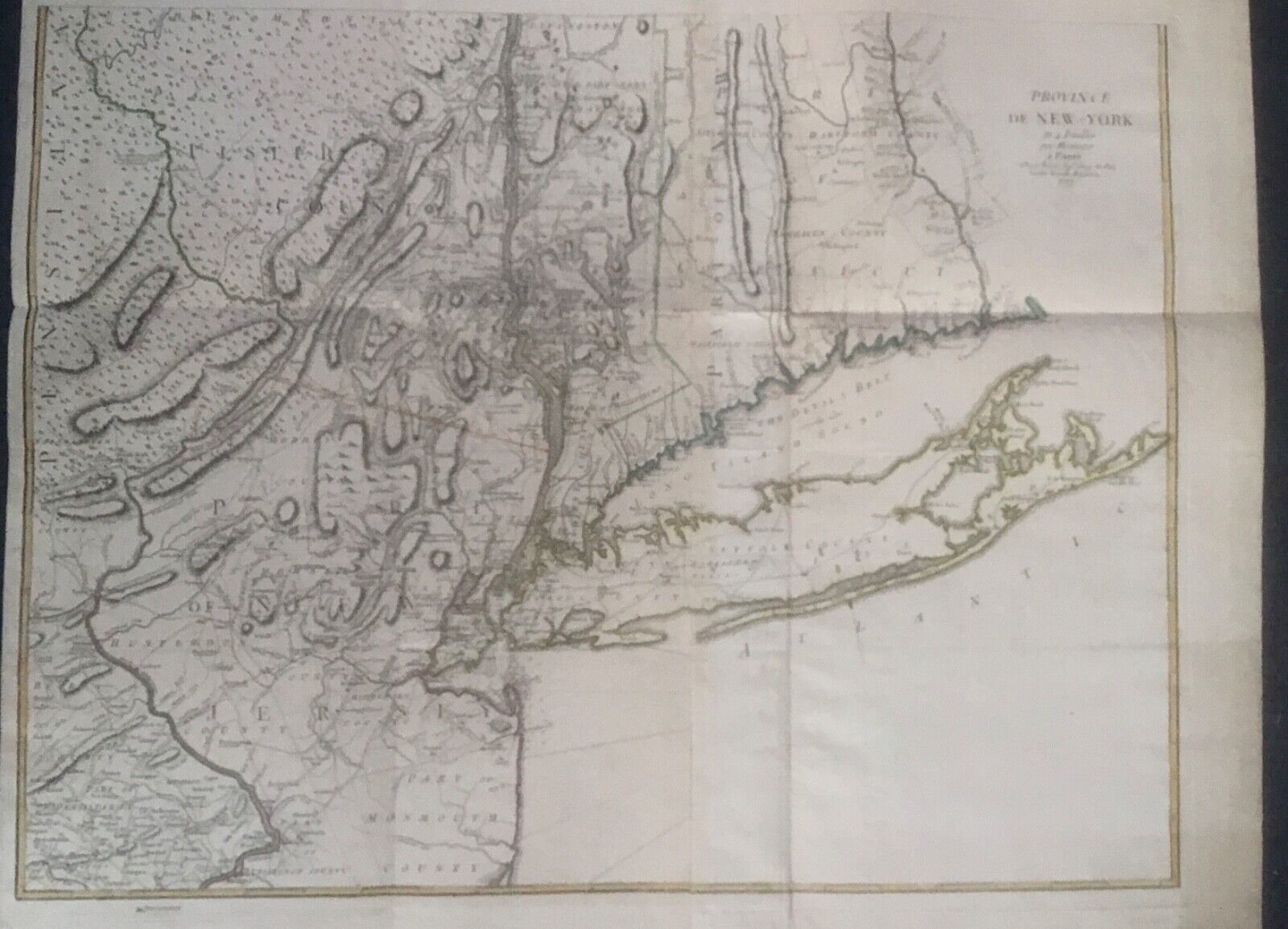
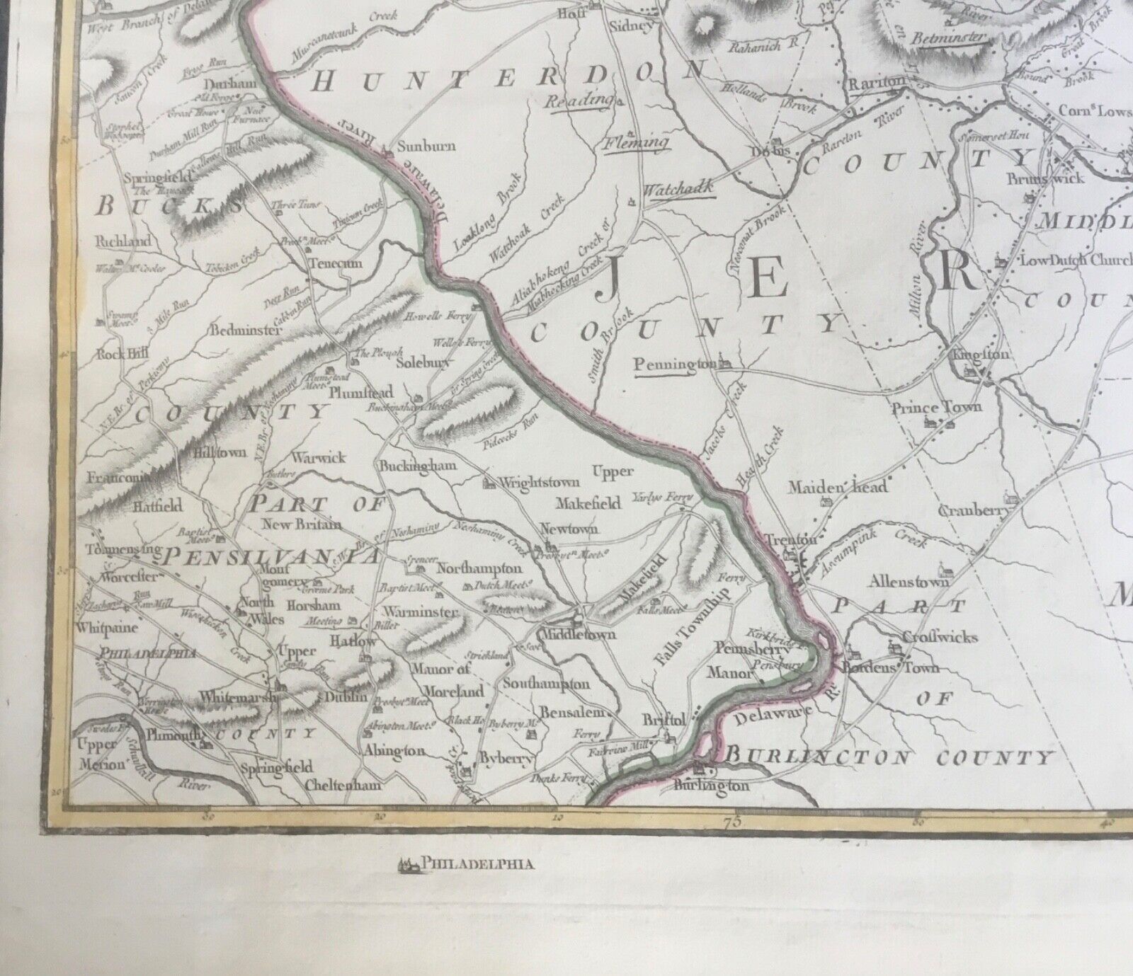
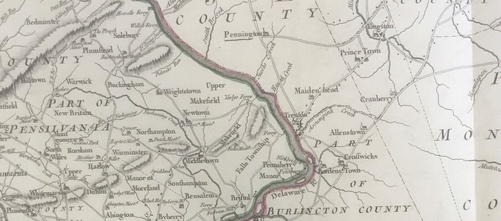
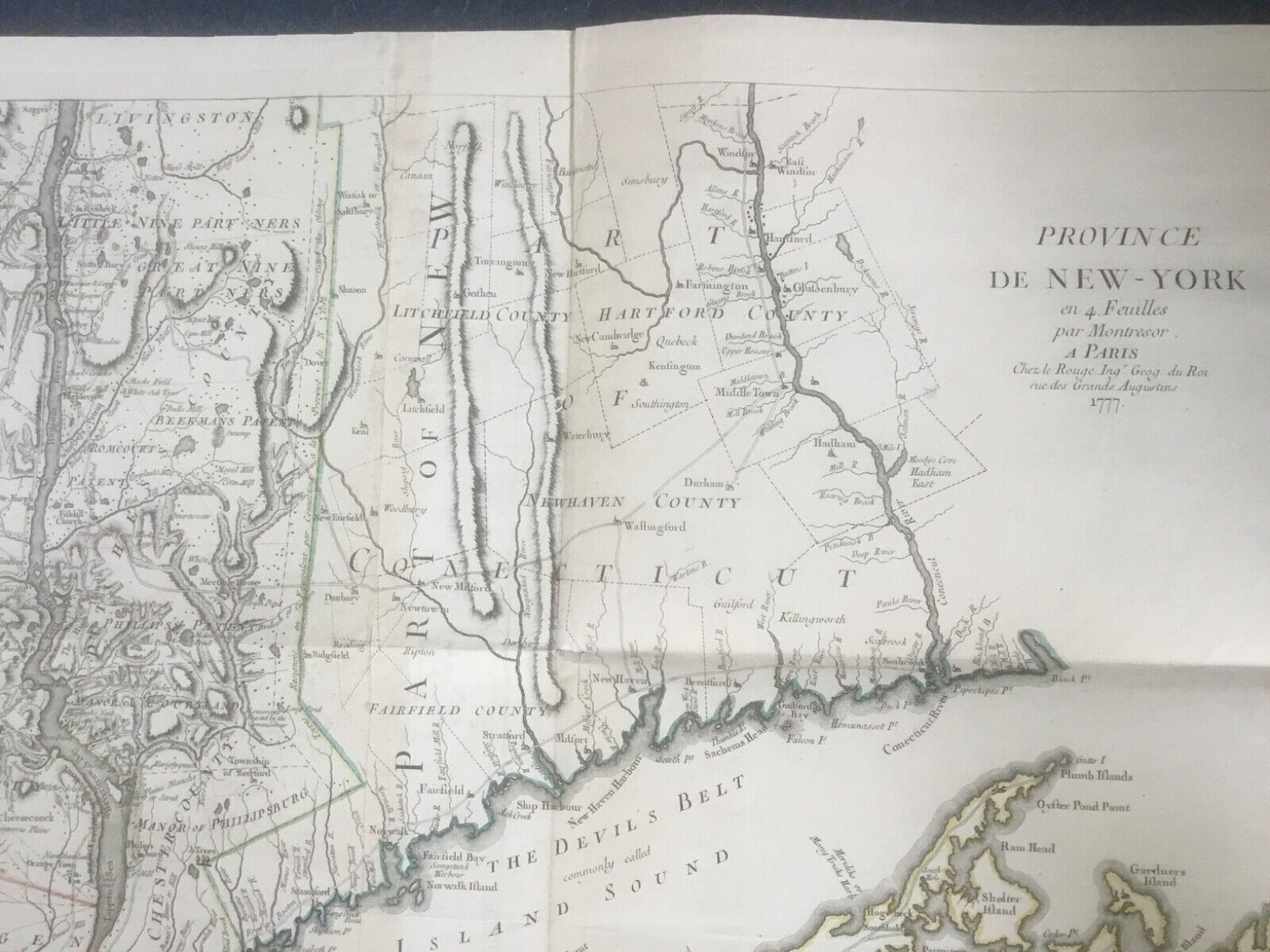
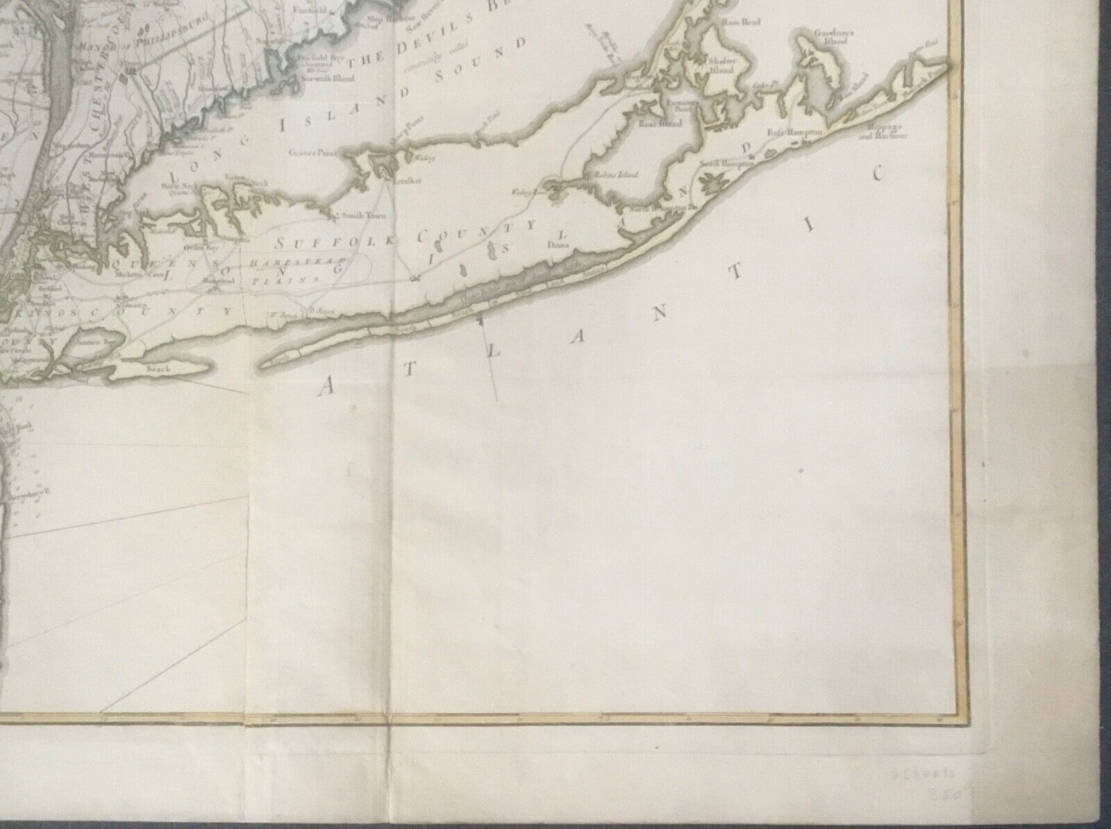
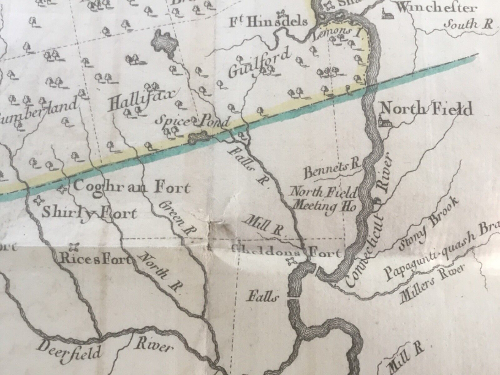
Antique Map: The Province de New-York en 4 Feuilles par Montresor a Paris, 1777
'A French edition of the original map by John Montresor (mapmaker) 1775 by George Louis le Rouge (publisher) likely from his Atlas Americain septentional (1778). Closely copied from the first English edition w. minor additions reflecting events during the New York campaign of 1776'...
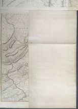
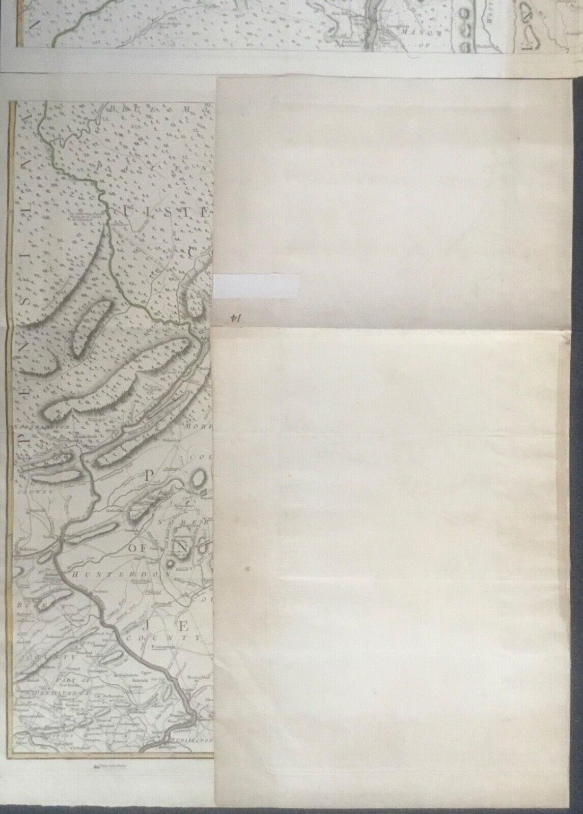
Engraving on four sheets (4 feuilles) joined as two sections. Laid paper w. watermarks, see pics (one pic is darkened to illuminate watermark)
Dimensions: each section is approx. 31" w x 39 1/2" h, edge to edge / incl. margins
Condition: very good overall, folded as issued, age appropriate or better w. a couple of areas of paper toning (to vertical folded sections), very small fold tear (2 noted), thin margin tear at edge fold, small piece of linen artist's tape to back of one margin for unknown reason - not due to repair, small number on two corners (one verso). Not backed or w. restoration, etc. As found / issued.
Note: pics taken outdoors, may have glare, shadows, w. pages a bit brighter / darker than actual...
*Returns not accepted for this listing
Pls email for add'l details, pics...
Thank you!
Added to your wish list!
- 1777 John Montresor Map Province de New-York 4 Feuilles George Louis le Rouge
- 1 in stock
- Price negotiable
- Handling time 3 days.
Get an item reminder
We'll email you a link to your item now and follow up with a single reminder (if you'd like one). That's it! No spam, no hassle.
Already have an account?
Log in and add this item to your wish list.