Rendered at 18:54:50 07/22/25
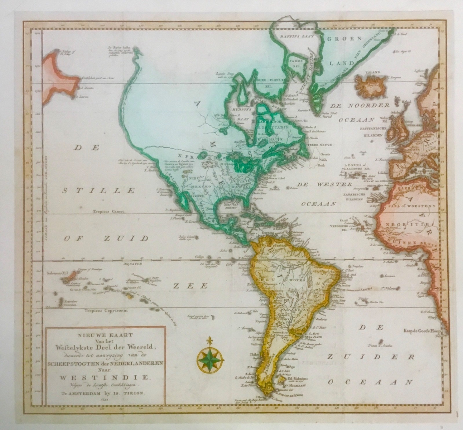
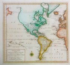
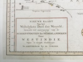
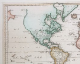


Isaak Tirion Amsterdam 1754 Map, Westindie
$198.22 CAD
Ships from
United States


Shipping options
Seller handling time is 3 business days Details
No shipping price specified to CA
Ships from
United States
Offer policy
OBO - Seller accepts offers on this item.
Details
Return policy
Refunds available: See booth/item description for details
Details
Purchase protection
Payment options
PayPal accepted
PayPal Credit accepted
Venmo accepted
PayPal, MasterCard, Visa, Discover, and American Express accepted
Maestro accepted
Amazon Pay accepted
Nuvei accepted
Item traits
| Category: | |
|---|---|
| Quantity Available: |
Only one in stock, order soon |
| Condition: |
Unspecified by seller, may be new. |
| Original/Reproduction: |
Antique Original |
| Date Range: |
1700-1799 |
| Year: |
1754 |
| Map View: |
Western Hemisphere |
| Format: |
Atlas Map |
| Printing Technique: |
Engraving |
| Cartographer/Publisher: |
Isaak Tirion |
Listing details
| Seller policies: | |
|---|---|
| Shipping discount: |
No combined shipping offered |
| Posted for sale: |
July 10 |
| Item number: |
1758748731 |
Item description
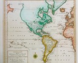
Isaak Tirion / Amsterdam - Westindie Map 1754...
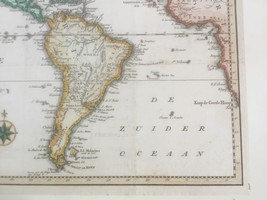
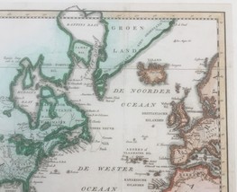
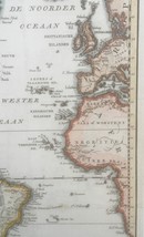
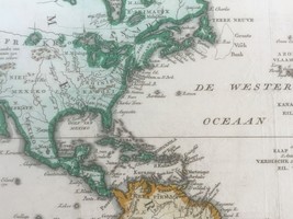
'Fascinating map of America, featuring an unusual northwest coast of America, includingMartin d'Aguilar's strait which provides for a Northwest Passage via the Great Lakes, what would likely be the so-called River of the West.
The rest of the Northwest Coast of America is orineted virtually due North, with notations regarding Russian explorations in 1743. California is a Peninsula, with annotations regarding Quivira or Teguaio. Evidence of the claims of the various British and French colonies throughout, especially along the Eastern Seaboard.'
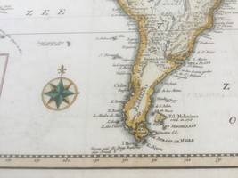
Dimensions: 14 5/8" x 14 (map sheet); matboard: 18"h x 17 1/4"w
Condition: original map / engraving laid down to board, possibly from Tirion's 18th C Atlas as it appears to have some text verso (seen thru an area of blank space off the coast of So. America)
*pics were taken outdoors, may have glare / shadows, happy to take add'l, let us know...
Pls email for add'l details, pics...
Feel free to contact us regarding payment (due upon purchase), returns / refunds and shipping (US only) prior to purchase as needed
Thank you!
Added to your wish list!
- Isaak Tirion Amsterdam 1754 Map, Westindie
- 1 in stock
- Price negotiable
- Handling time 3 days.
- Returns/refunds accepted
Get an item reminder
We'll email you a link to your item now and follow up with a single reminder (if you'd like one). That's it! No spam, no hassle.
Already have an account?
Log in and add this item to your wish list.